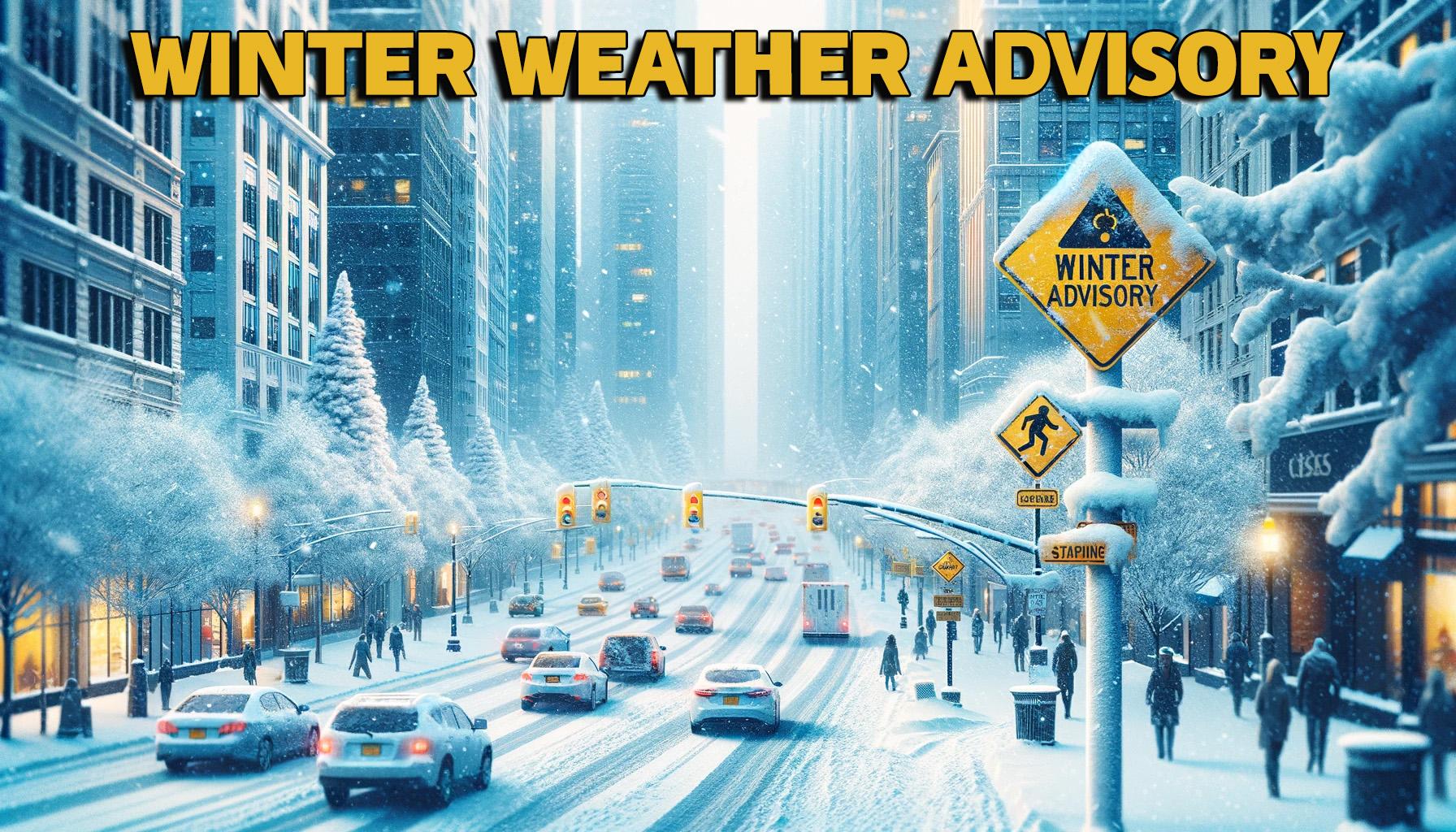
The first winter precipitation of the season is forecast to fall this weekend, and the National Weather Service has issued a Winter Weather Advisory for a significant portion of Missouri, effective from noon Saturday to 3 a.m. CST Sunday.
A Winter Weather Advisory will be issued for any amount of freezing rain, or when 2 to 4 inches of snow (alone or in combination with sleet and freezing rain), is expected to cause a significant inconvenience, but not serious enough to warrant a warning.
Residents in the affected areas can expect snow accumulations of 1 to 3 inches. The advisory covers north-central, northeast, northwest, and west-central Missouri. The latest weather forecast for north Missouri, from the National Weather Service, is available at this link.

The anticipated snowfall is expected to create slippery road conditions. Motorists are advised to exercise caution, slow down, and remain vigilant while traveling during the advisory period.
The advisory extends to several counties, including Adair, Andrew, Atchison, Buchanan, Caldwell, Carroll, Chariton, Clay, Clinton, Daviess, De Kalb, Gentry, Grundy, Harrison, Holt, Jackson, Linn, Livingston, Macon, Mercer, Nodaway, Platte, Putnam, Randolph, Ray, Schuyler, Sullivan, and Worth counties.
Travelers and residents in these areas should stay informed and prepare for winter driving conditions. Road conditions may be checked on the Missouri Department of Transportation Traveler’s map, which is updated regularly.

