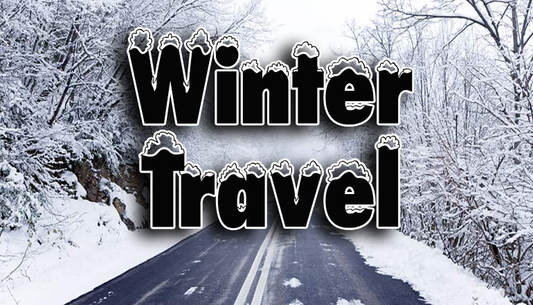
This season’s first winter precipitation forecast predicts a light snow mix late Saturday into Sunday, and the Missouri Department of Transportation is urging holiday travelers to plan ahead. The National Weather Service predicts a possibility of wet snow along and north of I-70, although warm ground temperatures will likely limit accumulations.
The primary corridor of snow is expected across far northeast Kansas and northwest Missouri. Snow is expected to extend southward toward the I-70 corridor; however, rain mixing in with snow is expected to greatly affect potential snow totals. Travel impacts are expected especially across far northeast Kansas and Northwest Missouri.
MoDOT urges drivers to plan for their weekend travels and watch local forecasts for updates. Motorists should use extra caution during and after the precipitation by leaving early and slowing down for the conditions, buckling up, and avoiding distractions. Be especially cautious on elevated surfaces such as bridges and overpasses.
Although pavement temperatures are expected to remain warm, MoDOT will continue to monitor the forecast and road conditions for updates and will have crews standing by.
Motorists can check current Missouri road conditions on the Traveler Information Map. The current forecast for north Missouri is available here.

