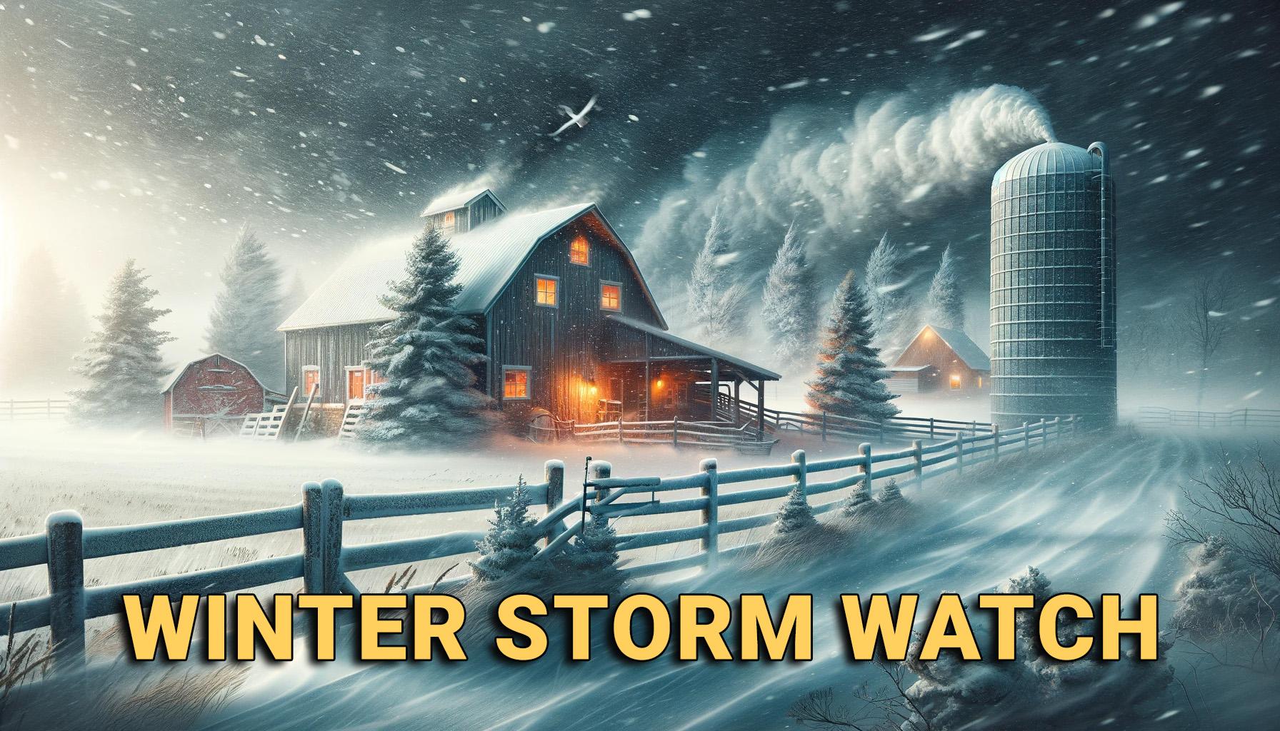
The National Weather Service in Kansas City/Pleasant Hill, MO, has issued a Winter Storm Watch, effective from Monday morning through Tuesday afternoon, alerting residents of northern Missouri to brace for a potential winter storm. Residents north of Highway 36 are advised to prepare as forecasters predict significant snowfall and strong winds.
The watch area includes:
Atchison, Nodaway, Worth, Gentry, Harrison, Mercer, Putnam, Schuyler, Holt, Andrew, De Kalb, Daviess, Grundy, Sullivan, Adair, Buchanan, Clinton, Caldwell, Livingston, Linn, Macon, Platte, Clay, Ray, Carroll, Chariton, and Randolph counties.

Several communities in the watch area include:
Albany, Stanberry, King City, Bethany, Princeton, Mercer, Unionville, Queen City, Greentop, Downing, Savannah, Country Club Villa, Maysville, Stewartsville, Osborn, Union Star, Clarksdale, Gallatin, Jamesport, Trenton, Milan, Green City, Kirksville, St. Joseph, Cameron, Plattsburg, Lathrop, Hamilton, Braymer, Polo, Breckenridge, Chillicothe, Brookfield, Macon, La Plata, Platte City, Liberty, Excelsior Springs, Kearney, Richmond, Lawson, Carrollton, Salisbury, Moberly and Kansas City.
Heavy snow is possible, with total accumulations of 4 to 6 inches. Additionally, wind gusts could reach as high as 45 mph, posing risks of reduced visibility and challenging travel conditions. The storm’s track and the amount of cold air will have a major effect on final snowfall amounts.
The hazardous conditions are likely to impact both morning and evening commutes, with travel predicted to be very difficult. Residents are advised to stay updated and listen to KTTN Radio, or follow the KTTN Facebook page for the latest weather forecasts and updates.

