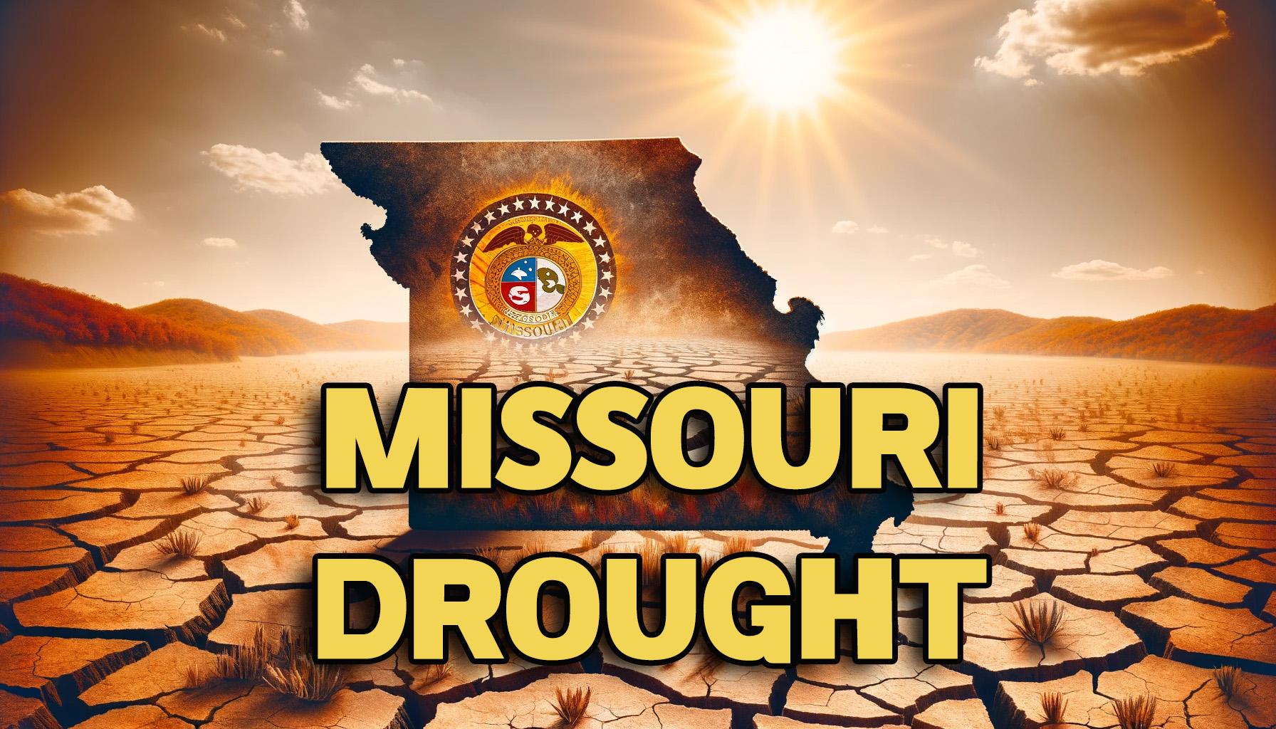
Rain in the week ending Tuesday morning, April 30, helped alleviate drought conditions in Missouri, according to this week’s U.S. Drought Monitor Map, released Thursday morning, May 2. The map reflects conditions as of April 30 and does not include rainfall from May 2.
In the Green Hills, moderate drought and abnormally dry conditions have lessened. Moderate drought is now confined to northwest Daviess County and parts of Harrison County. It is abnormally dry in northern and most of eastern Harrison County, much of the rest of Daviess County, northwest Caldwell and Livingston counties, southwest Mercer County, and western Grundy County. The remainder of the Green Hills is free from abnormally dry or drought conditions.
The severity of the drought in Northeast Missouri has decreased from severe to moderate, and areas previously classified as moderately drought-stricken have improved to abnormally dry conditions. Areas that were abnormally dry in Northeast Missouri no longer face drought or dry conditions. The improvement is also seen in Northwest, Central, Western, Southwest, and Eastern Missouri, where severe drought conditions in Southeast Missouri have been downgraded to moderate.
Statewide, abnormally dry or drought conditions affect 43.82% of Missouri, a 28.48% decrease from the previous week.
As of Thursday morning, May 2, Trenton has received 0.89 inches more precipitation than the average for the year to date. During the week ending Tuesday, April 30, Trenton recorded 3.72 inches of rain.

