(12/31/2020) -The article below is now out of date. We have an updated article on the storm that is to pass through northern Missouri on New Year’s day, which is available HERE.
The potential for a widespread winter storm could bring hazardous road conditions at the peak of New Year’s celebrations. A complex weather system is expected to spread freezing rain and ice across much of Missouri beginning late Thursday night and continuing into Friday. The storm could also include 30 mph wind gusts in some areas and snow in the northern portions of Missouri. These conditions could make travel treacherous for those attending or returning from New Year’s Eve celebrations and on New Year’s Day.
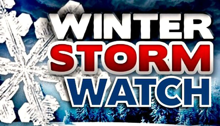
A Winter Storm Watch remains in effect from 9 pm Thursday evening through 6 pm Friday evening.
Counties included in the watch area are DeKalb, Daviess, Grundy, Sullivan, Adair, Buchanan, Clinton, Caldwell, Livingston, Linn, Macon, Platte, Clay, Ray, Carroll, Chariton, Randolph, Jackson, Lafayette, Saline, Howard, Cass, Johnson, Pettis, Cooper, Bates, and Henry counties.
Heavy mixed precipitation is possible with total snow accumulations of 1 to 3 inches and ice accumulations of one to as much as four-tenths of an inch. Authorities will be keeping a close eye on the storm system as power outages and tree damage are likely due to the ice. Travel could be nearly impossible.
As of Wednesday evening, December 30th, the National weather service forecast is calling for:
Thursday Night: Snow likely after midnight. Mostly cloudy, with a low around 22. East northeast wind 6 to 13 mph, with gusts as high as 22 mph. The chance of precipitation is 60%. Little or no snow accumulation expected.
New Year’s Day: Snow, freezing rain, and sleet before 11 am, then snow and sleet between 11 am and noon, then snow and freezing rain likely afternoon. The sleet could be heavy at times. High near 32. North northeast wind 11 to 14 mph, with gusts as high as 28 mph. The chance of precipitation is 90%. New ice accumulation of less than 0.1 of an inch possible. New snow and sleet accumulation of 1 to 3 inches possible.
Drivers are urged to slow down and plan extra time if you must be out or be prepared to stay at their travel destination if roads become dangerous.
MoDOT crews will be treating ahead of the storm when beneficial, but with the potential of liquid precipitation preceding and following the ice, salt and chemicals could be washed from the road’s surface before they could be effective.
Drivers should use extreme caution overnight from New Year’s Eve into New Year’s Day as road conditions could deteriorate rapidly wherever freezing precipitation is falling. It only takes a little bit of ice to create slippery roads. If you are involved in a crash or slide off the road, the safest thing to do is to stay inside your vehicle and wait for help to arrive.
There were 51 people killed and 261 seriously injured in Missouri traffic crashes between December 10, 2019, and January 1, 2020. Twelve of the fatalities and 40 of the serious injuries involved a substance-impaired driver.
Keep informed of rapidly changing weather conditions and prepare to respond accordingly. Check road conditions where you are, along your route, and at your destination by going to MoDOT’s Traveler Information Map at traveler.modot.org. The map can also be downloaded as a free app for Apple and Android devices.


