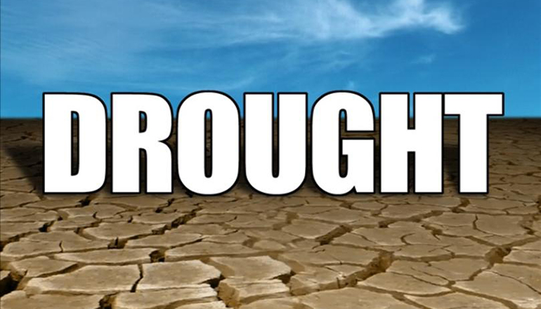
Drought conditions continue to worsen in Missouri, according to the U. S. Drought Monitor map. This week’s map was released Thursday morning, June 8th, and is based on conditions as of Tuesday morning, June 6th.
Drought conditions in the Green Hills are similar to unchanged compared to last week. There is, however, an increase in severe drought in eastern Putnam County, and there is now some severe drought in northeastern Sullivan County. The rest of the Green Hills still has moderate drought.
The part of Northeast Missouri that had abnormally dry conditions last week now has moderate and severe drought. Extreme drought remains in part of Northeast Missouri. Moderate drought and abnormally dry conditions in Northwest Missouri have lessened some.
Extreme, severe, and moderate drought has expanded in Central Missouri. More of South Missouri is abnormally dry.
Abnormally dry conditions or some degree of drought cover 86.76% of the state. That is an increase of 6.68% from last week.
As of the morning of June 8th, Trenton was 4.33 inches below average for rainfall year to date. There were 1.43 inches officially reported in the week ending June 6th at 8 am, which was the cut-off time for this week’s U. S. Drought Monitor map. That rain came in the 24-hour period ending June 1st at 7 am.

