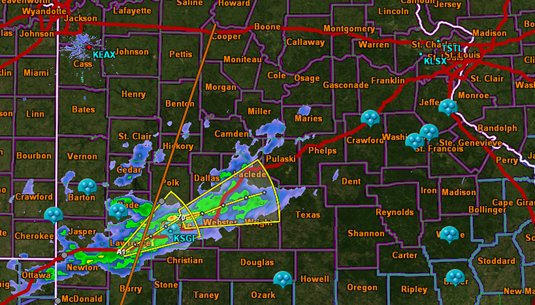
Light freezing precipitation is expected to begin this afternoon and spread from the south to the north.
The heaviest periods of ice accumulation will be Saturday night into Sunday.
Accumulations today could range from a light glaze to a tenth of an inch. Overall, accumulations during the weekend are expected to be from One-quarter up to one-half inch of ice.
Highway 36 in northern Missouri is something of a dividing line as to when the ice storm warning begins.
The National Weather Service includes Caldwell, Livingston, and Linn counties of the Green Hills Region in an ice storm warning beginning at noon.
The rest of the Green Hills counties, or basically north of U-S 36, have the ice storm warning beginning Saturday evening at 6.
We asked Meteorologist Jared Leighton of the National Weather Service why?


