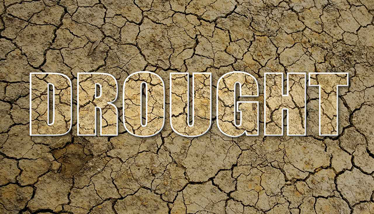
Over the past several weeks, much has been said about the U.S. Drought Monitor and the outline of drought impacted counties across northern Missouri.
The Drought Monitor summary map identifies areas of drought and labels them by intensity. D-1 is the least intense level and D-4 is the most intense. The latter designation from last week included several areas counties in north Missouri. Local officials are hoping much-needed rain from recent days alleviate some of the drought concerns regardless of the status, the damage that has been done or is occurring.
University of Missouri extension specialist Tim Baker of Gallatin explains how information and photos submitted to the drought monitor get used.
Tim Baker can be contacted at the Daviess County Extension Office in Gallatin.
Each week, drought experts consider how recent precipitation totals compare to long-term averages. They check temperatures, moisture levels in soils, and water levels in streams and lakes. They also watch for indicators of drought such as vegetation stress.
Altogether, experts check dozens of indicators to establish consensus for drought categories. Before the weekly map is published, up to 350 people across the country review the draft to check it against reality. Each final map represents experts’ best judgments of regional-scale drought conditions, validated by partners in the field. Missouri’s Drought Assessment Committee activated a month ago by the Governor, has had two meetings so far.


