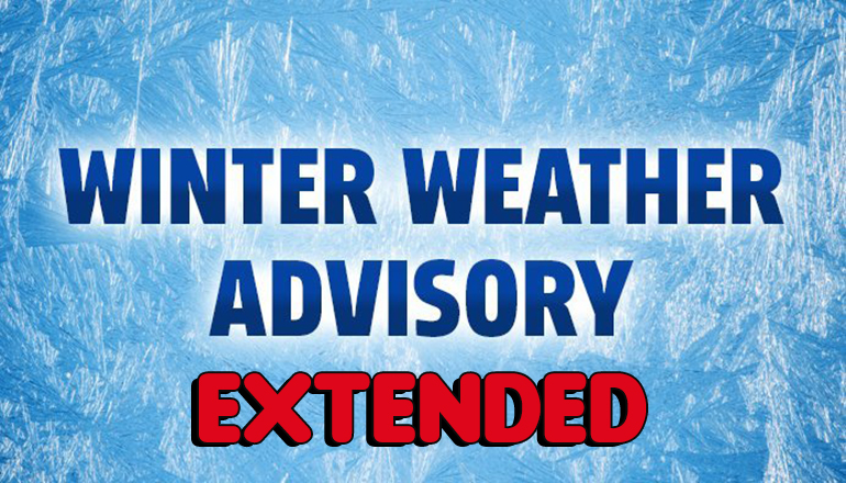
With the National Weather Service in Kansas City predicting snow, sleet, and freezing rain through Thursday, the Winter Weather Advisory that was issued for many counties in northern Missouri has been extended.
The current forecast for northern Missouri is calling for areas of freezing drizzle and freezing rain continuing to expand back to the north Wednesday, impacting all portions of the advisory area on-and-off today.
By this evening, precipitation rates are expected to increase, and ice accumulation will be quicker and more efficient. In total, up to two-tenths of an inch of ice accumulation is possible from east central KS through northeastern Missouri, and at least a few hundredths will be possible outside the heaviest swath of ice accumulation.
The higher precipitation rates late Wednesday evening could make travel very hazardous, especially if rain becomes detrimental to treatment already on road surfaces. To that end, the National Weather Service has extended the Winter Weather Advisory that currently envelopes northern Missouri until Thursday, February 7th, 2019, at Noon.
Counties included in the extended Winter Weather Advisory include:
Adair, Carroll, Chariton, Grundy, Linn, Livingston, Macon, Mercer, Putnam, Saline, Schuyler, Sullivan, Andrew, Atchison, Bates, Buchanan, Caldwell, Cass, Clay, Clinton, Daviess, DeKalb, Gentry, Harrison, Henry, Holt, Jackson, Johnson, Lafayette, Nodaway, Platte, Ray and Worth counties.


