Today will mark the start of an unsettled period of weather, with some storms possibly becoming strong.
Isolated severe thunderstorms will be possible this afternoon into tonight, primarily focused on eastern Kansas into western Missouri. Primary hazards will be dangerous cloud-to-ground lightning, moderate to locally heavy rainfall, hail, & gusty winds. Look for the strong to perhaps severe threat to continue through Tuesday with similar hazards.

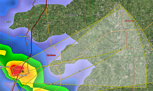
The National Weather Service in Pleasant Hill indicates that hazardous weather is expected at this time.  You can expect one or two rounds of
Thunderstorms to begin in north Missouri by mid afternoon.

Heavy rains Are possible mainly north of the Missouri river. Isolated severe storms are possible over the western portion of the region with large
hail the primary threat.


