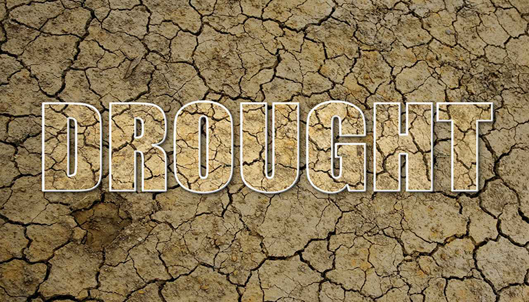
Significant rain earlier this week has improved the drought status for portions of Livingston and Carroll Counties.
The U-S Drought Monitor map for Missouri that was released today shows a northwest to southeast portion of Livingston County and the eastern half of Carroll County to be in D-2 or severe drought. Prior to the rain of Monday night and Tuesday morning, those areas were in D-3 or extreme drought – as were many other counties north of the Missouri River.
In another change from last week’s map, there’s a portion of western Caldwell County that is the first in the state to be placed in the D-4 or exceptional drought. That’s the worst possible designation.
The newest map shows all or parts of 37 counties are in extreme drought. Five of them are in southwest Missouri which are surrounded by severe drought.
Statistics show more than three-fourths of Missouri is experiencing drought conditions of some degree. That includes many counties in the lower drought categories called abnormally dry. Others range through severe, extreme, and exceptional drought conditions.


