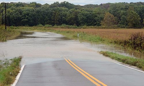
Proposed Flood Insurance Rate Map updates for Grundy and Sullivan counties have been released for public review.
Floodplain Engineering and Mapping Civil Engineer Darryl Rockfield, Junior reports the FIRM changes are part of the Federal Emergency Management Agency’s effort to update maps to reflect current flood risk, so action “can be taken to mitigate and become more resilient against future flood risk”.
Rockfield says the updates might have risk reduction and flood insurance implications for property owners. Anyone can view the maps during the review period to identify possible concerns with the proposed maps that can be raised during an appeal process.
Grundy County Emergency Management Director Glen Briggs says he anticipates many minor changes to the Flood Insurance Rate Map for Grundy County but no major changes. He encourages residents who believe they are in a floodplain or close to one to see if there are any changes.
The map updates and information on the appeal process can be viewed at the FEMA website.
Maps will also be available at the Grundy County Courthouse in Trenton. Grundy County residents who believe they should not be considered to be in a floodplain but are should contact him at the courthouse at 359-4040 extension 2250.
The courthouse, as well as many government entities, will be closed Monday in observance of Martin Luther King, Junior Day.


