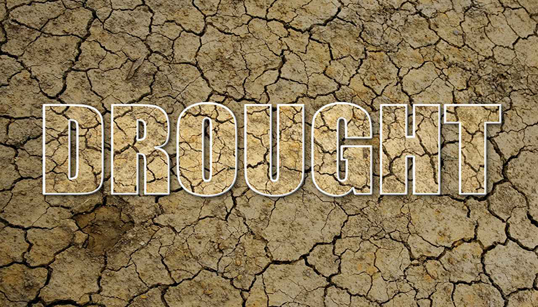
Prior to the rain received on Thursday morning, the U. S. Drought Monitor Map for Missouri for this week continued to show moderate drought and abnormally dry conditions in Northern Missouri and the eastern part of the state. The abnormally dry conditions in the eastern part of the state have expanded west. This week’s map also shows abnormally dry conditions in the western part of the state. The map was released on June 24th and is based on conditions as of June 22nd.
The northern part of Harrison County, nearly all of Worth County, and northern portions of Gentry and Nodaway counties show moderate drought conditions. Abnormally dry conditions in the Green Hills area still include the southern part of Harrison County, most of Mercer County, all of Grundy and Sullivan counties, about the northern two-thirds of Daviess County, and parts of Putnam, Livingston, and Linn counties.
There had been 1.97 inches of rain in Trenton this month as of the morning of June 24th at 7 o’clock. One-hundredth of an inch was recorded in the 24-hour period ending at 7 o’clock the morning of June 24th, and no other rain had been measured since June 22nd. Trenton was 3.10 inches below normal for precipitation year to date. More rain has fallen since 7 o’clock the morning of June 24th. Rain in the week ending June 29th should improve drought conditions.
One point thirty-two percent of the state was experiencing moderate drought as of June 22nd, which was .23% less than last week. The portion of the state experiencing abnormally dry conditions this week was 19.78%, which was up 5.64% from last week. Seventy-eight point nine percent of the state was not experiencing drought or abnormally dry conditions.


