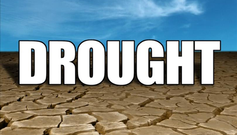
The latest U. S. Drought Monitor map shows all or parts of 31 counties are in D-3 or extreme drought conditions which is an increase of five counties from last week’s map.
Most of the extreme drought area is north of the Missouri River and includes all or parts of the counties in the Green Hills Region. Since last week’s report, the extreme drought area has expanded into part of Worth County to the north as well as Platte, Jackson, and Lafayette counties to the south. The extreme drought area is surrounded by counties in D-2 or severe drought.
Year-to-date precipitation for Trenton as of Thursday, August 2, is 14.23 inches below normal.


