Motorists should avoid travel if possible in Missouri Friday through Sunday due to incoming significant amounts of freezing rain, sleet, and ice. Travel on Missouri’s roads should be avoided overnight Thursday into Friday through Sunday. Friday morning rush hour commutes will be impacted by the freezing rain across most of Missouri.
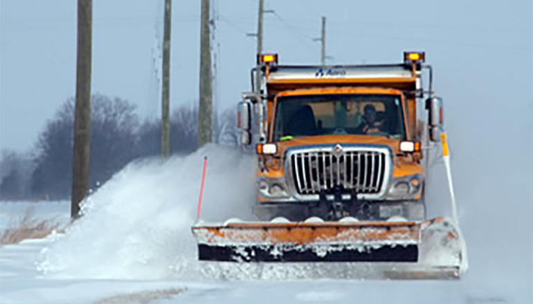
“MoDOT crews will be out ahead of the storm using a mixture of chemicals and abrasives including salt brine and salt,” said MoDOT State Maintenance Engineer Becky Allmeroth. “Ice is the most difficult storm to fight. With large areas of the state expected to get a half inch or more, it can cause downed power lines and potential roadway closures. Motorists should avoid travel this weekend if at all possible.”

Many universities and colleges across the state begin class next week. Students are advised to avoid travel this weekend and consider travel after the ice storm is clear and conditions improve.
When roads get icy, consider putting chains on vehicles if you have to travel. Please use proper winter safety precautions and make sure you have a full tank of gas, extra blankets and gloves and provisions like water and snacks. Please wear your seatbelt and don’t drive distracted. Leave plenty of space behind other vehicles and give snow plows room to work. If you encounter car troubles or are involved in a crash, please remain in your vehicle.

THE NATIONAL WEATHER SERVICE IN KANSAS CITY/PLEASANT HILL HAS ISSUED A WINTER STORM WATCH, WHICH IS IN EFFECT FROM FRIDAY AFTERNOON THROUGH SUNDAY EVENING FOR ALL COUNTIES IN NORTH MISSOURI.
TIMING: FRIDAY AFTERNOON THROUGH SUNDAY EVENING.
MAIN IMPACT…SIGNIFICANT ICING POSSIBLE WITH ACCUMULATIONS OF ONE-QUARTER TO THREE-QUARTERS OF AN INCH.
OTHER IMPACTS…ROADWAYS WILL BECOME VERY SLICK AND HAZARDOUS ALONG WITH THE POSSIBILITY FOR DOWNED TREE LIMBS AND SCATTERED POWER OUTAGES.

The forecast as of 6:30 Thursday, January 12 calls for:
Friday Night: A chance of freezing rain and sleet before 7pm, then a chance of freezing rain. Cloudy, with a low around 21. East wind 5 to 8 mph. Chance of precipitation is 30%.
Saturday: A slight chance of freezing rain and sleet before 5pm, then a slight chance of sleet. Cloudy, with a high near 28. Northeast wind 3 to 6 mph. Chance of precipitation is 20%.
Saturday Night: A chance of freezing rain and sleet before 5am, then a chance of freezing rain. Cloudy, with a low around 23. Chance of precipitation is 50%. New precipitation amounts of less than a tenth of an inch possible.
Sunday: Freezing rain. High near 33. Chance of precipitation is 80%.
Sunday Night: Rain or freezing rain likely before 8pm, then freezing rain likely between 8pm and 11pm, then rain after 11pm. Low around 31. Chance of precipitation is 80%.
M.L.King Day: Rain likely, mainly before noon. Cloudy, with a high near 45. Chance of precipitation is 60%.


